The Mother Road across Arizona
By Jan Miller


The year was 1985. Plenty of people came to Williams, Ariz., to watch as highway crews poured the last segment of concrete that would soon mark the end of one era and the beginning of another. Though the old era would live on in people’s hearts and souls; and many would work tirelessly to keep its heritage alive by collecting and sharing old photos and postcards, writing books and starting museums, and later, web sites. It was even to be immortalized in its own TV show, and it had its own song!
Route 66, the first real cross-country highway, opened the U.S. to adventurers and ordinary people alike in 1926, by paving a 2,300 mile stretch of road from Chicago to Los Angeles. For 59 years, the Mother Road — as John Steinbeck called it in his compelling novel, The Grapes of Wrath — carried families on vacation, business people to customers, and countless souls on their way to a new life out West. Three generations of people grew up with Route 66. She was there for the small businessmen fleeing the ravages of the Great Depression; for the destitute farmers escaping the 1935 Dust Bowl. And later, to host military personnel on their way to army bases, airfields and armament factories during WW II. Route 66 provided a living for many others who worked at service stations, restaurants, motels, gift shops and trading posts alongside this romantic and celebrated road that crossed through eight states.
Then Interstate 40 came and replaced her.
Williams was the last town to be bypassed by the Interstate. Old Route 66 had been its Main Street. It’s no wonder that among the throng in town that day in 1985 were newspaper and TV reporters from all over the U.S. who came to witness and share with their audiences the fact that no longer would anyone be getting their kicks on Route 66.
However, taking down the old road signs didn’t remove Route 66 from national acclaim. The Mother Road lives on, and in fact, has attained iconic status.
Scattered sections of the road can still be detected in Illinois cornfields, Missouri hills, parts of Kansas and Oklahoma, and on the Texas plains. Parts of her are still visible in the red rock country of New Mexico and the high Arizona desert. Even in California, some of her pavement remains.
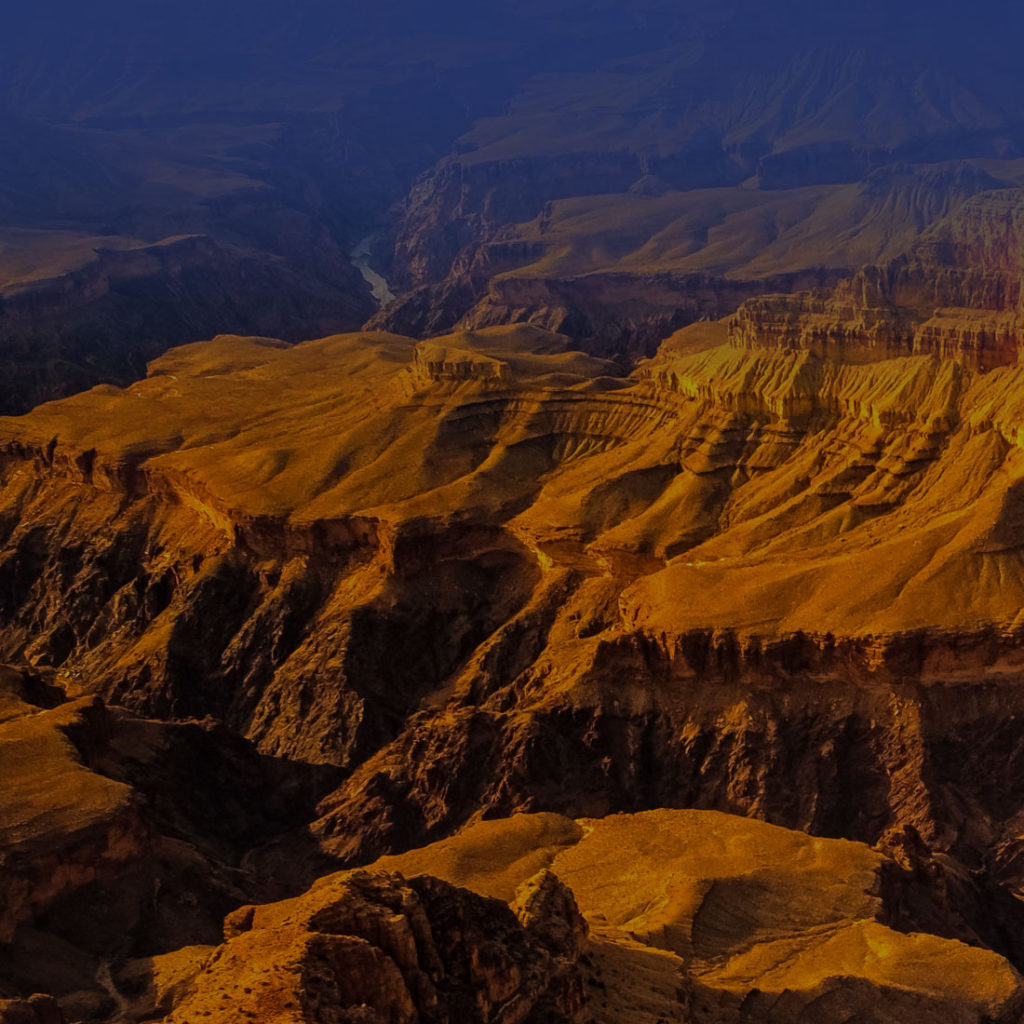
In its day, the scenic Arizona section of the road presented travelers with views of ancient volcanoes, painted deserts and fragrant pine forests as it followed the trails of early pioneers, Indians and outlaws.
Old Route 66, from Arizona’s eastern border to Seligman, closely parallels Interstate 40. From there, the old route breaks away, and where the longest unbroken original stretch in the country remains.
Route 66 buffs still love to find and drive on the intact portions of the old road. Easier said than done, making contact with her pavement is an enduring testament to the road’s mystique, and to the quest for adventure the old road inspired, then and now.
Take a trip across Arizona on Old Route 66 (Photos to come)
Toward Holbrook, dinosaurs invite travelers to stop at the International Petrified Forest Museum and Dinosaur Park.
Joseph City is the home of the famed Jackrabbit Trading Post; and Winslow still sports some Route 66-era structures like the La Posada Hotel, the only remaining Harvey House Hotel, which still keeps the light on for travelers who want to stop for the night.
Nearby are the Meteor City Trading Post and Meteor Crater and a couple of real ghost towns, Two Guns and Canyon Diablo.
Flagstaff maintains a stretch of the old Mother Road and several buildings of the era still stand, including the Santa Fe Railroad Depot and the Hotel Monte Vista, built in 1926.
From Williams, the old road left the high country and descended into the plains toward Seligman, a town that still reveres its vintage businesses like Juan DelGadillo’s Snow Cap Drive-in.
After Seligman, old Route 66 turns north toward Canyon Caverns, Peach Springs and Valentine before angling again to the south and Kingman, home of the historic Hotel Brunswick and the Arizona Route 66 Association.
At McConnico the Mother Road turns west toward the old mining town of Oatman, then south to Topock, where it once crossed the Colorado River, signaling the promise of The Golden State.
Sources:
www.TheRoadWanderer.net/route66az.htm
www.legendsofamerica.con/66-harveyhouse.html
www.legendsofamerica.com/66-arizonaroad.html
www.legendsofamerica.com/66-info.html
Route 66: The Highway and Its People; Croce Kelly, Susan; Scott, Quinta; Univ. of Oklahoma Press; Copyright 1980